| Scientific Breakthrough |
The system adopts modular design and is equipped with different sensors according to the task requirements. It has the following functions.
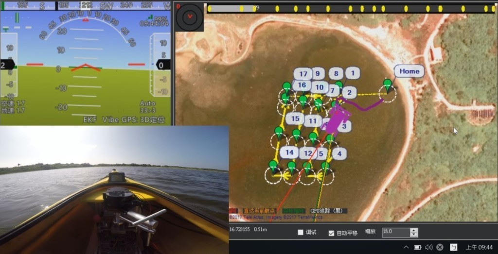
1.Unmanned autonomous navigation: The ASV receives GPS positioning information and sails according to the preset path. Use 3D Lidar to detect obstacles and avoid obstacles.
2. 3D Map construction: When sailing autonomously, 3D-Lidar collects the point cloud information of the surrounding landscape. By using the ICP algorithm, the 3D map of the surrounding landscape can be constructed.
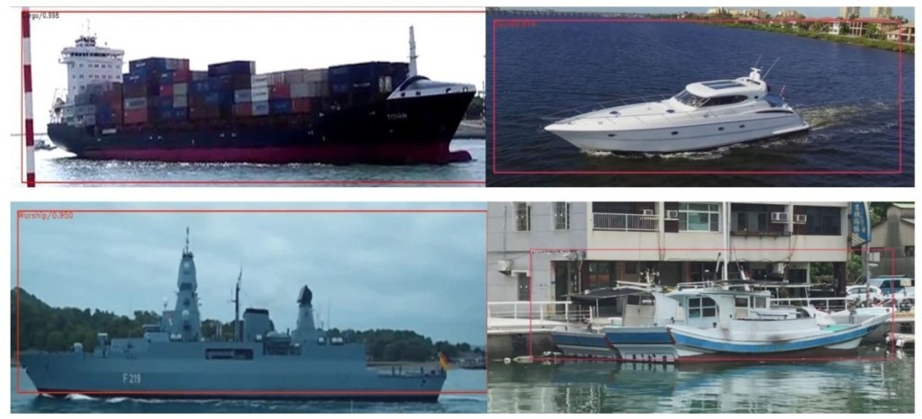
3. Automatic recognition of images: The bow camera uses the SSD deep learning network to detect and classify surface targets automatically. It can greatly improve the detection and recognition efficiency.
4. The shore control station uses Wi-Fi/4G wireless communication with ASV. Get information about ASV timely.
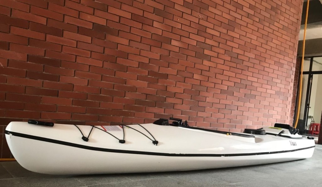
5. The length of ASV is only 3.5 meters. By using water jet proportion, the platform can be used in special waters such as danger and shallow water.
6. ASV uses industrial computers for autonomous navigation and map construction. AI image recognition uses the Nvidia TX2 computing platform. The modular design can satisfy different requirement of mission. |

