| Summary |
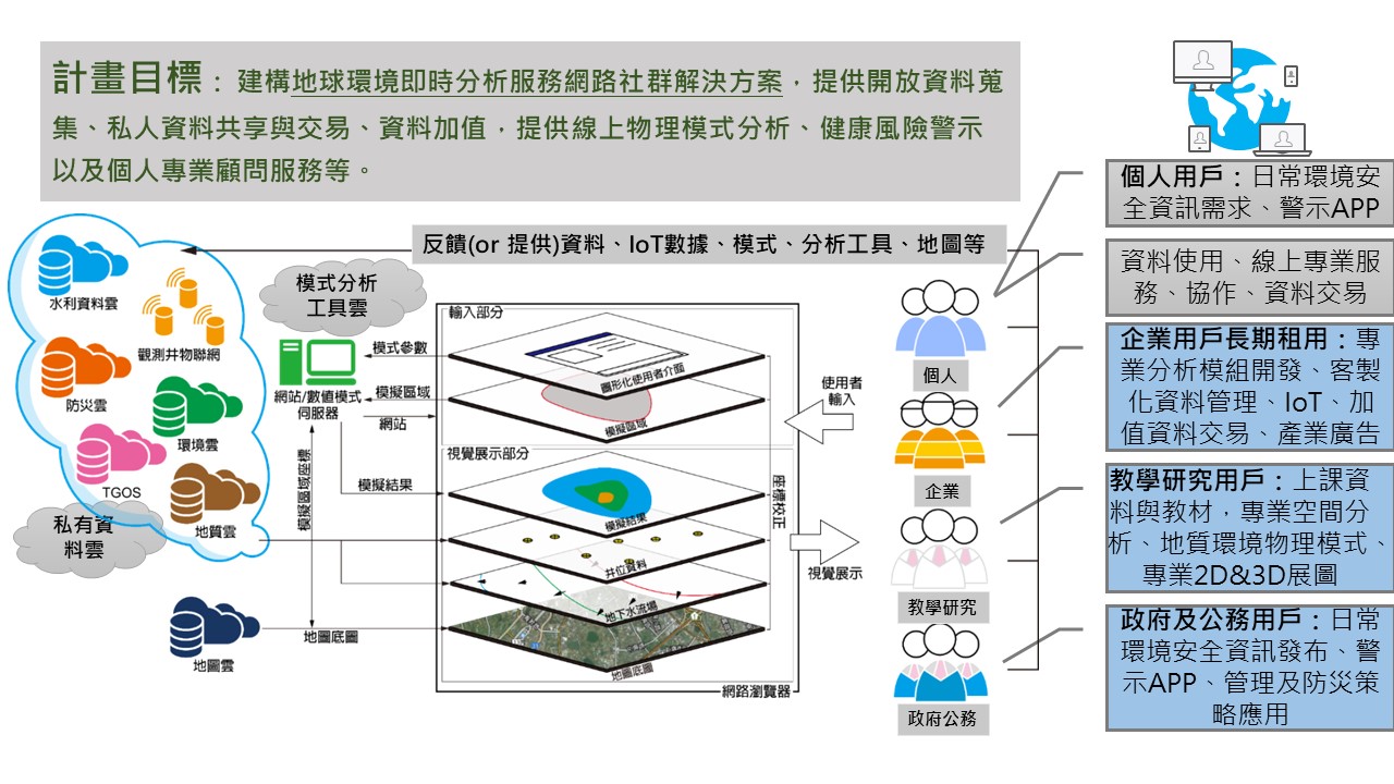
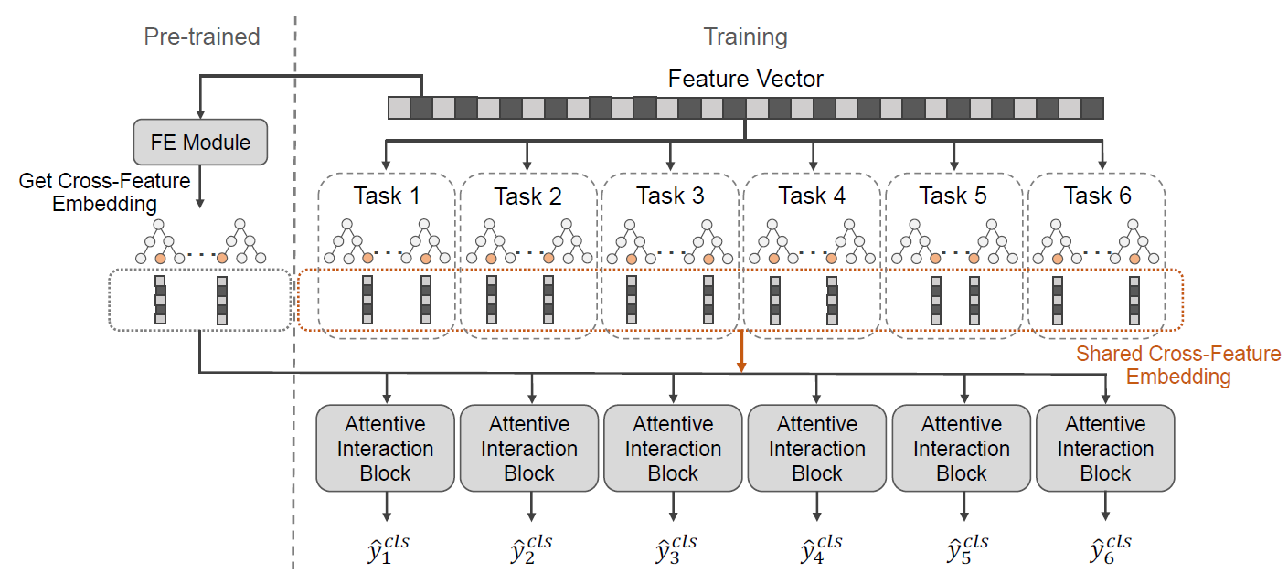
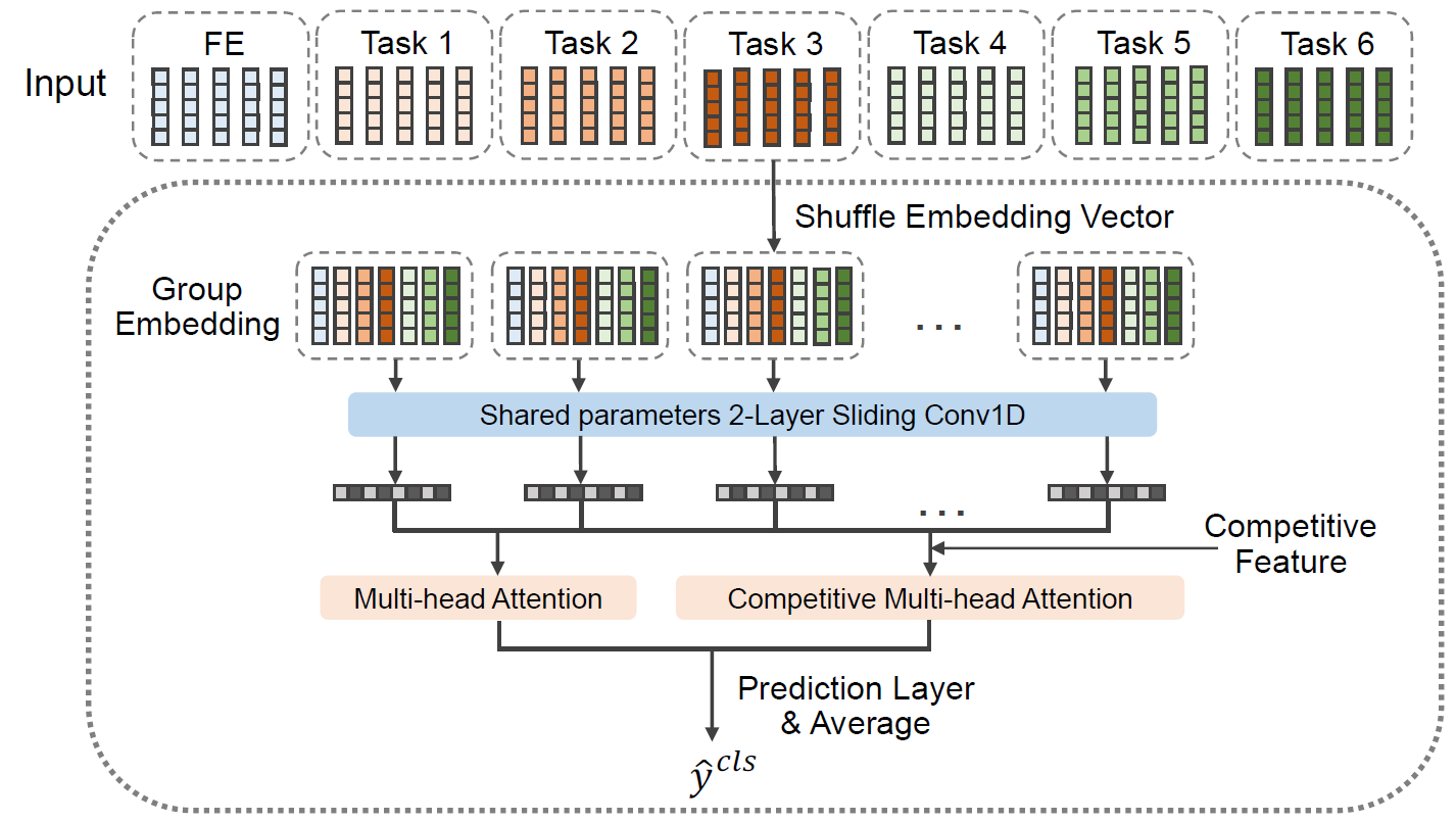
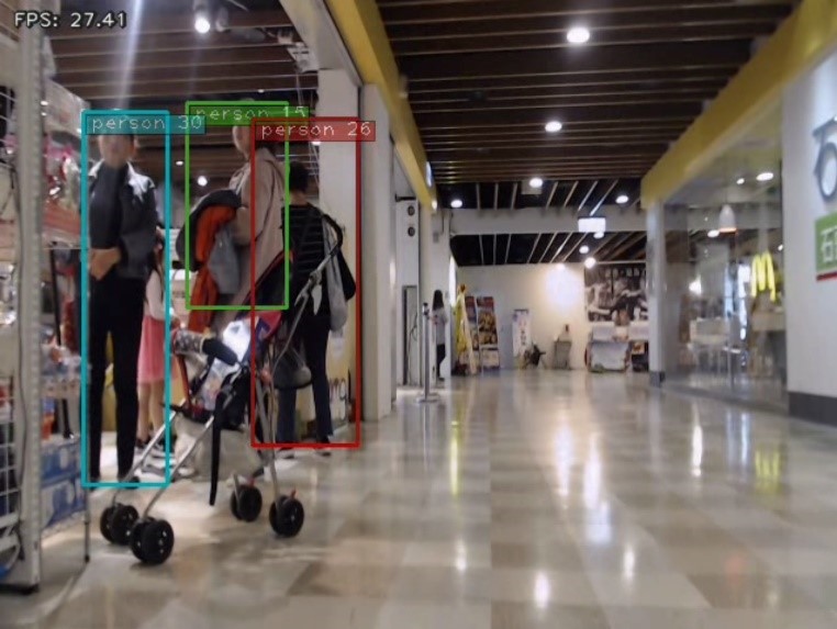
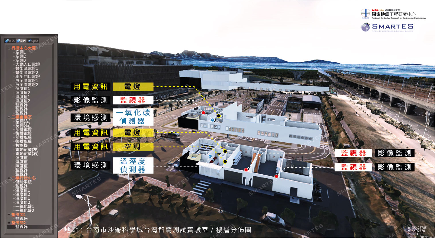
We propose a spatial-temporal inference model, which uses a large amount of spatialtemporal data in the city to help governmentsenterprises predict future long-short-term important urban indicator values, such as traffic flow, human mobility, pollution level, number of criminal caseseven commercial profitability. The SIM model exploits IoT to integrate multiple real-time geospatial big data, including population, the flow of people, geographical data, Traffic,real-time sensor values. SIM can make effective predictionsprovide explainability for making decisions.
|
| Scientific Breakthrough |
The past works mainly focused on the statistical analysis of various geospatial data. However, it is hard to effectively model complex relationships between features from massive data, resulting in high time costlow accuracy. Recently, some studies switched to use deep learning models. However, pure deep learning has low accuracycannot provide interpretability in a large number of heterogeneous numerical data. Thus, existing solutions cannot effectively combine dynamicsstatics. Experiments confirm that our prediction effectiveness is beyond all current deep learning approaches.
|
| Industrial Applicability |
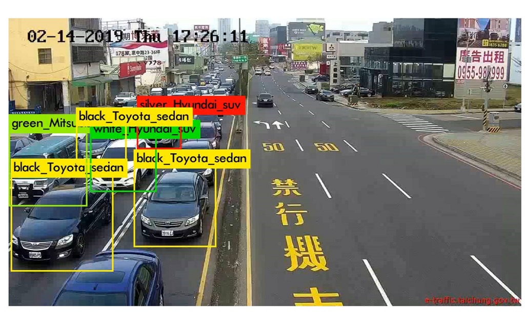
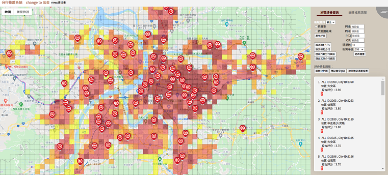
As long as part of the urban historical data of the forecast target can be obtained, together with crawling other time-space dynamicstatic information in real-time, our SIM technology can be applied to forecast future indicators of industrygovernments. Enterprises can earn profit from SIM's inference,the government can also use resources properlymake good decisions for the future. The work has been successfully applied to traffic flow, human mobility, disease risk, environmental pollution, mass transportation demand, bank branch indicators, illegal parking, crime rate, etc.
|

