| Technical Name | Flooding and Water Level Interpretation Using IoT and AI Image Recognition Technology | ||
|---|---|---|---|
| Project Operator | Feng Chia University | ||
| Project Host | 方耀民 | ||
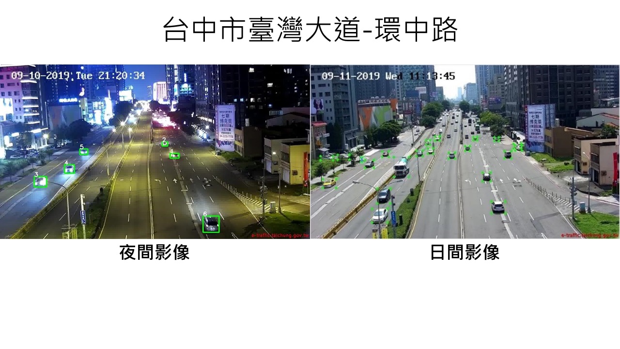
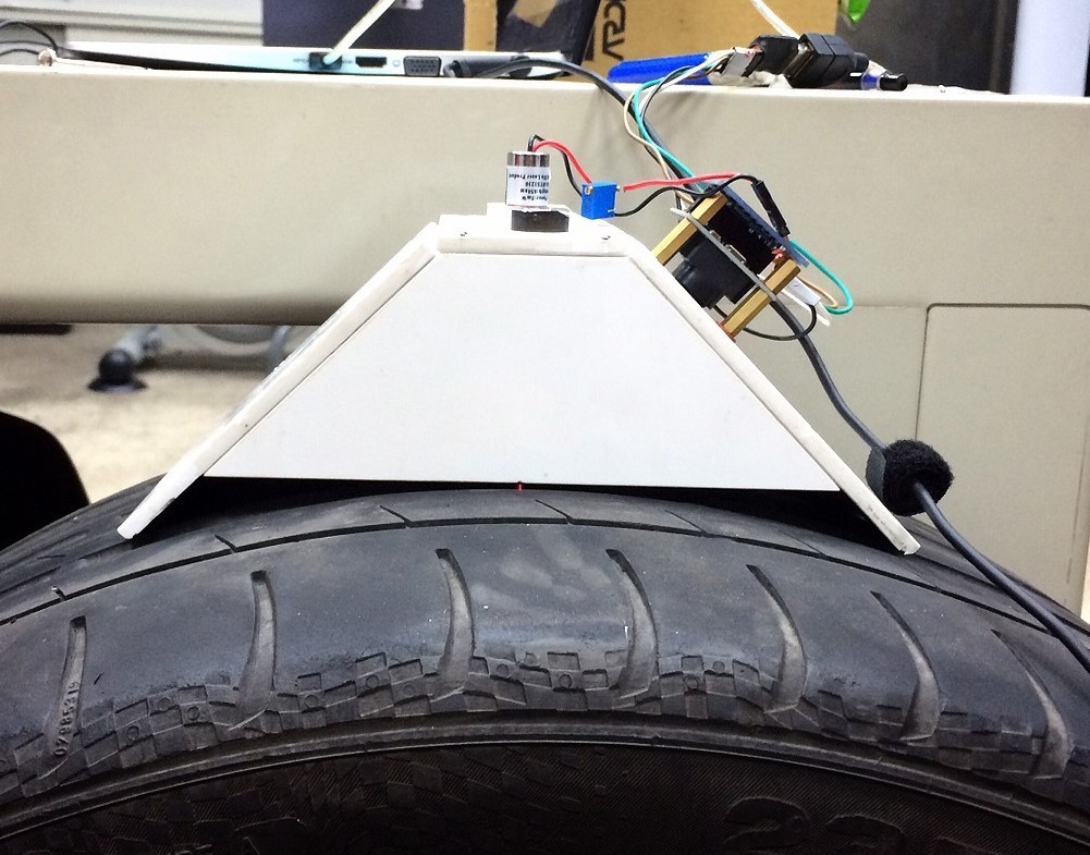
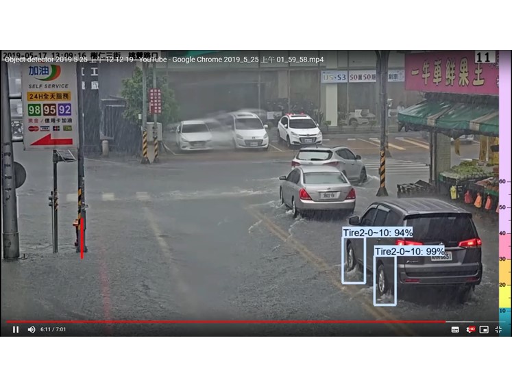
| Summary | In the recent years, the short-duration heavy rainfall has caused series of flooding events in urban areas. To understand the real time situation, the technology takes image samples of vehicles driving through floodwater for recognition, and draw up a virtual water level ruler in the images. Even if the images cannot be marked, staffs can calculate the level through the flooded wheels. Finally, the results will be reported back to the system and staffs will be notified to cope with the upcoming situation. |
||
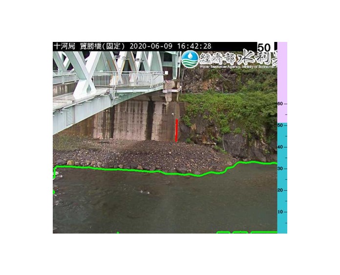
| Scientific Breakthrough | To calculate the flood level, the technology integrates CCTV footages and virtual water level ruler drawn up by users. Without Linear Programming’s limitations, this technology uses 2 kinds of AI image recognition technology, which is applicable to gauging water level of pavement flood events, reservoir, and bridge. Besides, through training data, the technology has reached 90% of correction. It is practical to be applied in business and disaster mitigation. |
||
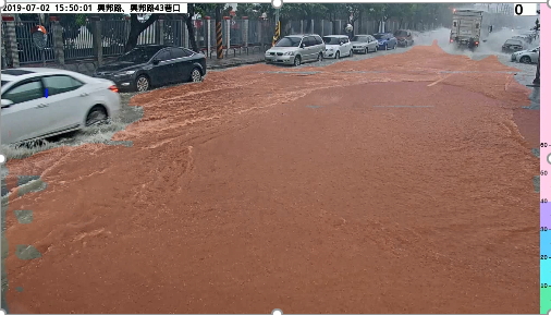
| Industrial Applicability | The technology has been applied in the project of intersection flood image interpretation in Department of Water Resources,Taoyuan City and river water level recognition of Water Resources Agency. It offers a real-time monitoring platform for decision-making. Its dynamic updates allows the images to be sent back immediately and the recognition capability can be strengthen continuously. When the results reached the warning threshold, system will automatically send out the report. It is extremely helpful for disaster preparedness. |
||
| Keyword | Internet of Things Artifical Intelligence Flood Image Recognition Water Level | ||
- frankfang@gis.tw
other people also saw

